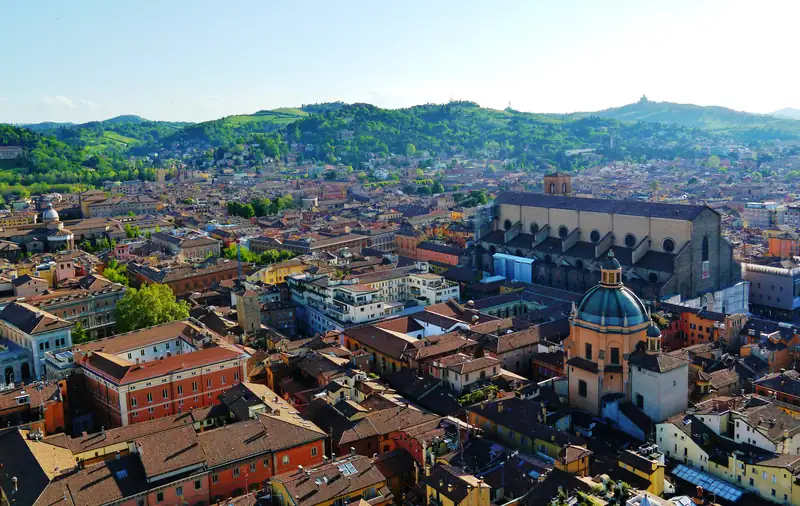
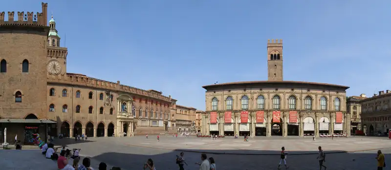
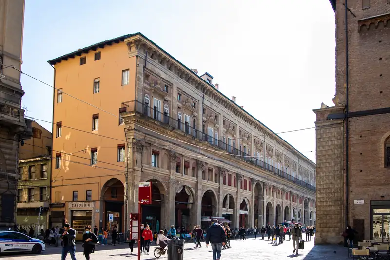
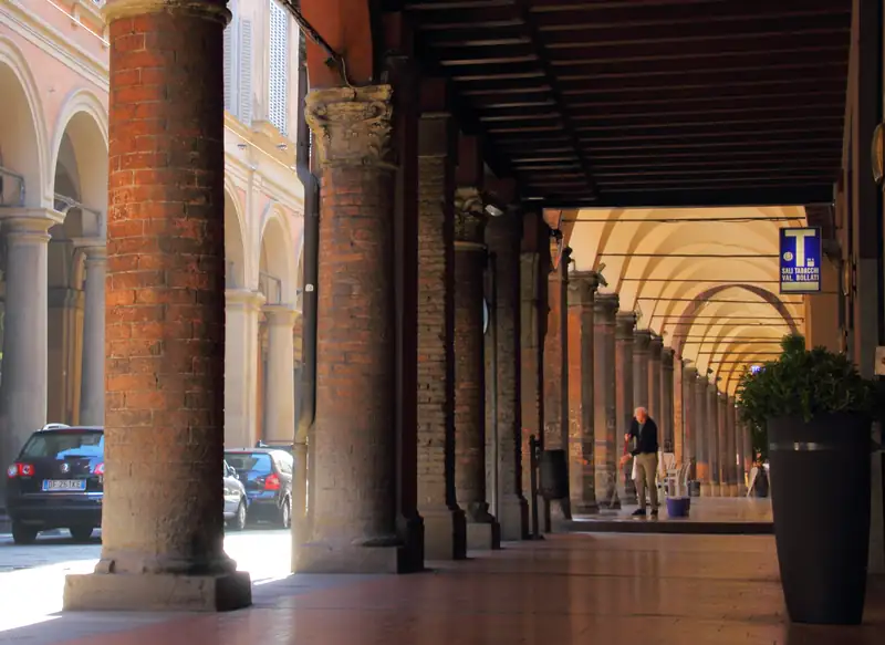
Central Bologna is small enough to measure from one square. From Piazza Maggiore, the Neptune Fountain is 58 meters away, the Due Torri 485 meters, Santo Stefano 575 meters and Bologna Centrale 1.5 km, about 20 minutes on foot. The map plots the sights, the station and the car parks, and a 2.2 km loop links the main sights.
Piazza Maggiore is the middle of Bologna, and almost everything a visitor wants is within 15 minutes’ walk of it. The map above plots the main sights, the railway station, the airport monorail and the central car parks. Below it, every distance is measured from the middle of the square on foot, using OpenStreetMap foot routing at a steady adult pace, checked in October 2026.
Walking distances from Piazza Maggiore
Each distance runs to the point that marks the building or street, so the palaces on the square come out at under a minute. San Luca sits on a hill south-west of the city; the router’s shortest path gives 4.7 km, and the climb makes it slower than the flat minutes above suggest.
One walking loop
This loop links six of the main stops in 2.2 km, about 30 minutes of walking without stops. With time inside each sight, it fills a morning.
- Piazza Maggiore to the Archiginnasio, 284 m. Walk south past the side of San Petronio to the old university building and its anatomy theatre.
- Archiginnasio to San Domenico, 482 m. Continue south to the basilica and its square.
- San Domenico to Santo Stefano, 600 m. Head north-east to the cluster of churches on Piazza Santo Stefano.
- Santo Stefano to the Due Torri, 359 m. Go north to the two towers. Both are closed to visitors, so this is a stop at street level.
- Due Torri to the Quadrilatero, 291 m. Walk back west into the market streets behind Palazzo dei Banchi.
- Quadrilatero to Piazza Maggiore, 214 m. You come out on the east side of the square.
The tour in the box above covers much of the same ground with a guide, and the things to do in Bologna guide explains what to look at in each place.
Where the station and car parks are
Read the map with north at the top and the square in the middle:
- Bologna Centrale is due north, 1.5 km away at the far end of Via dell’Indipendenza. The Marconi Express to the airport leaves from inside the station; see the airport guide.
- Piazza VIII Agosto car park is north, about 1 km away, inside the ring road.
- Riva Reno car park is north-west, 1.3 km away, inside the ZTL.
- Parcheggio del Centro at the bus station is north-east, about 1.4 km away, with its entrance on the ring road.
- Ex-Staveco car park is south, 1.2 km away on the ring road.
- Tanari park and ride is north-west, 2.4 km out, so take a bus in.
Most of the old center inside the ring road is a camera-controlled limited traffic zone, the ZTL. Fees, hours and the rules for drivers are in our Bologna parking guide.
Where the hotel areas sit
The hotels closest to the square are in the streets just around it and in the Quadrilatero, two to four minutes away. The quieter residential streets around Santo Stefano and Strada Maggiore lie east and south-east. The university quarter around Via Zamboni starts just north-east of the Due Torri. The station hotels are 13 to 20 minutes north. Our where to stay in Bologna guide names hotels in each.
For a paper map, the tourist office on the square is the place to ask, and Bologna Welcome offers a city center map to download from its website.